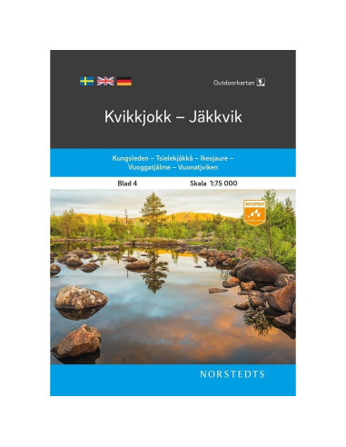
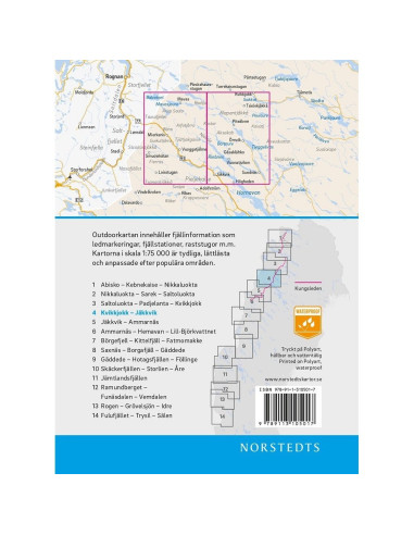
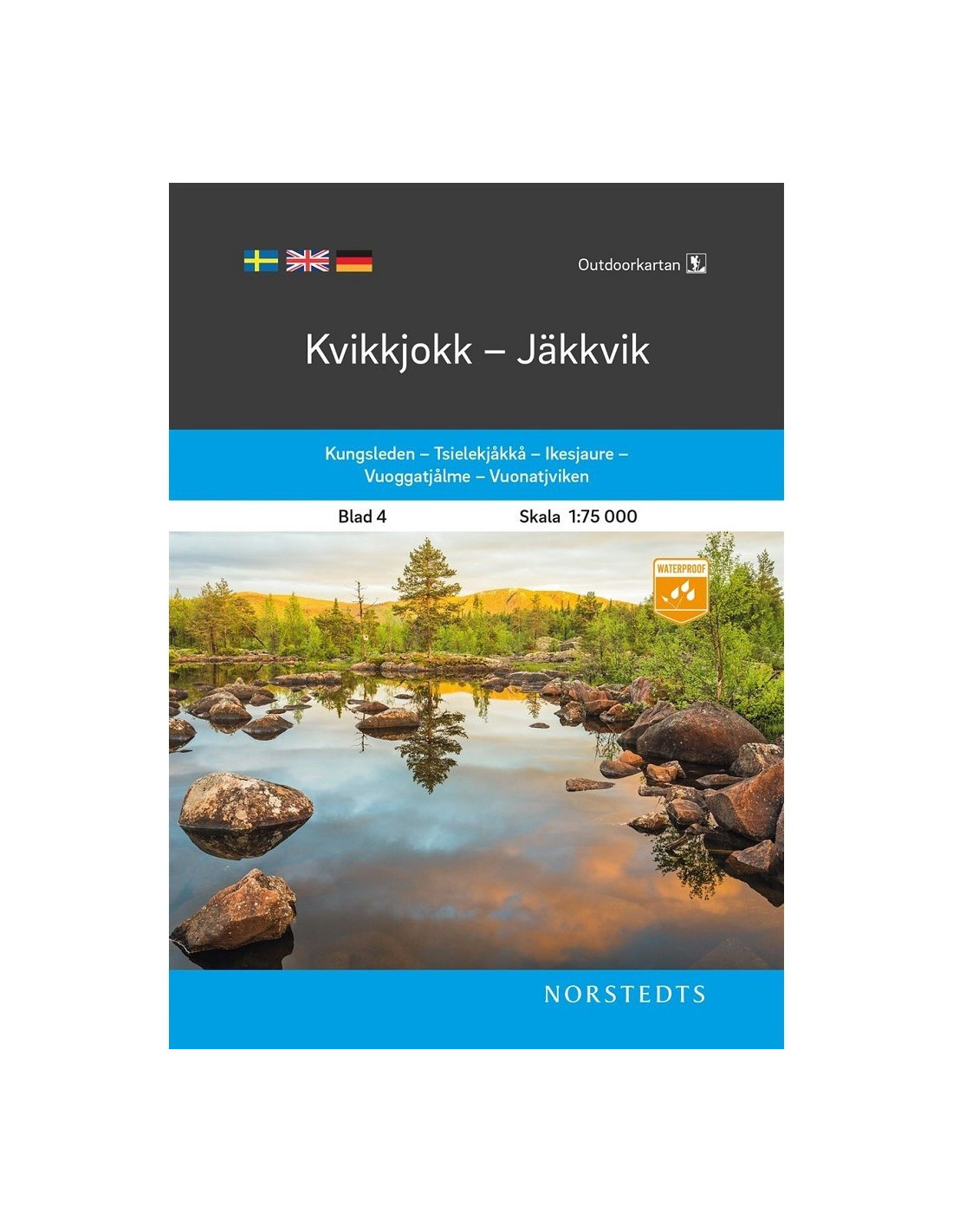
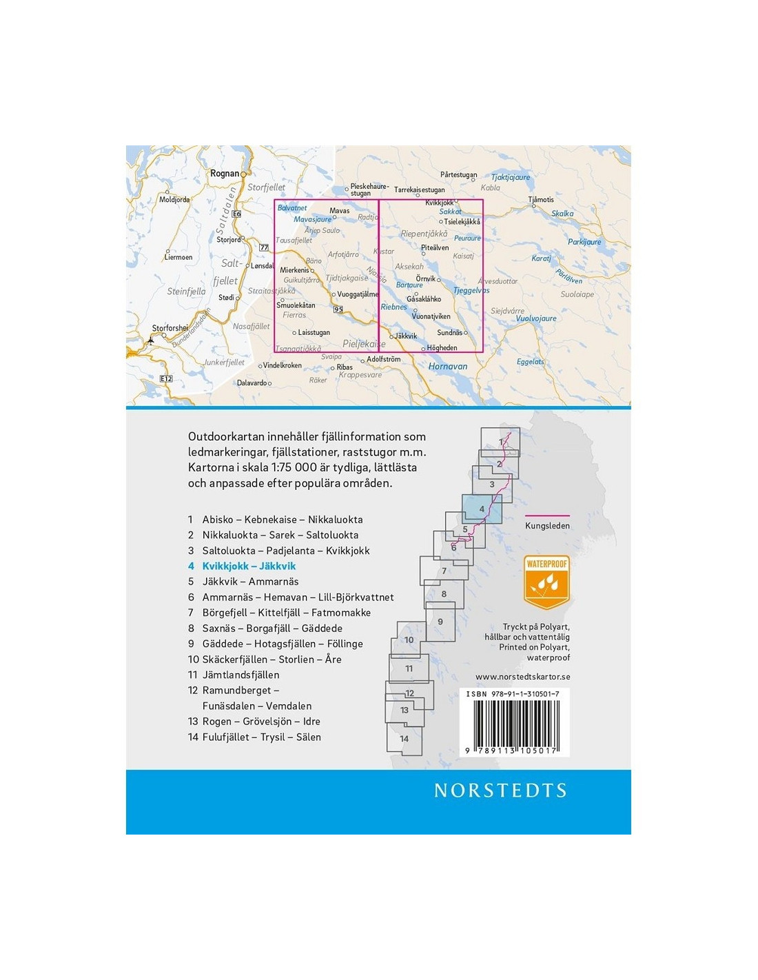
Page 4 Outdoor Map 1:75,000 - Edition 2020
The Outdoor Map is a series of topographic mountain maps with a coverage area adapted to hiking trails and popular outdoor areas in the Swedish mountains. The Outdoor Map gives you good information for excursions all year round, for example hiking, fishing, snowmobile trips and skiing.
The specific mountain information shows, among other things, marked summer and winter trails, routes suitable for snowmobile riding, bridges and fords, mountain stations, rest huts, helplines and much more. The map is printed on Polyart which is completely waterproof, it can also withstand many folds and rough handling. The map's content, clarity and durability make it ideal to take on your trip.
The map is printed on both sides, scale 1:75,000. Legend in Swedish, English and German.


